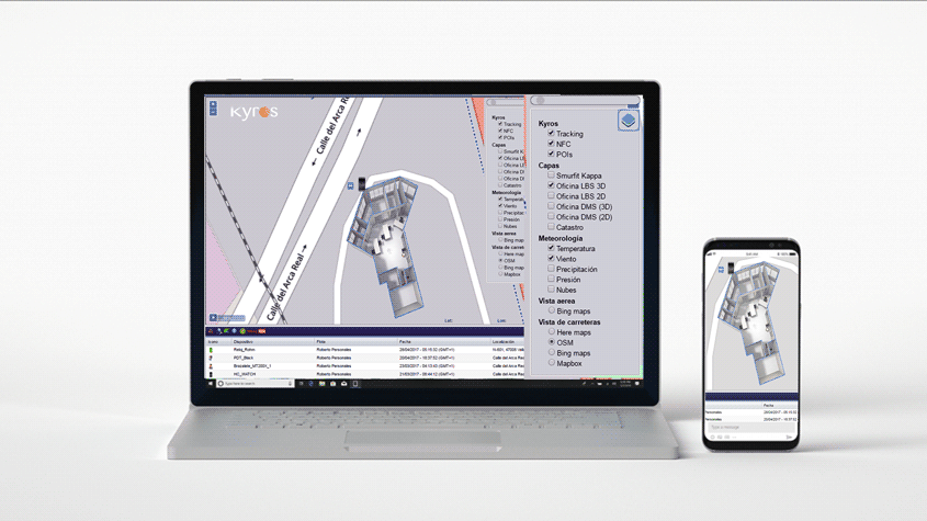
Kyros integrates the mapping management OpenStreetMaps (OSM) that offers maps with higher quality and faster viewing.
The management of cartography with OSM includes improvements in the treatment of vector data and new rendering tools, as well as new formats such as WebOpenGL that allow the ability to display data in 3D format and html5 adapted to retina and high pixel density screens such as mobile devices.
The cartographic server integrated in the architecture of Kyros for the management of cartography and geographic information, offers greater interoperability with KML, GeoJSON, TopoJSON, GPX, … the administration of files KML extends map display capabilities by managing layers KML representing elements of networks roads, telecommunications, energy, stations … etc. for control by proximity of workers, vehicles, management points of interest and location incidents .


